Naval system · Large Unmanned Surface Vessel
Saildrone Surveyor
Ocean Mapping / Oceanographic Survey / Maritime Domain Awareness
Also known as: Saildrone Surveyor / large autonomous sailing vessel / Navy ocean mapping USV
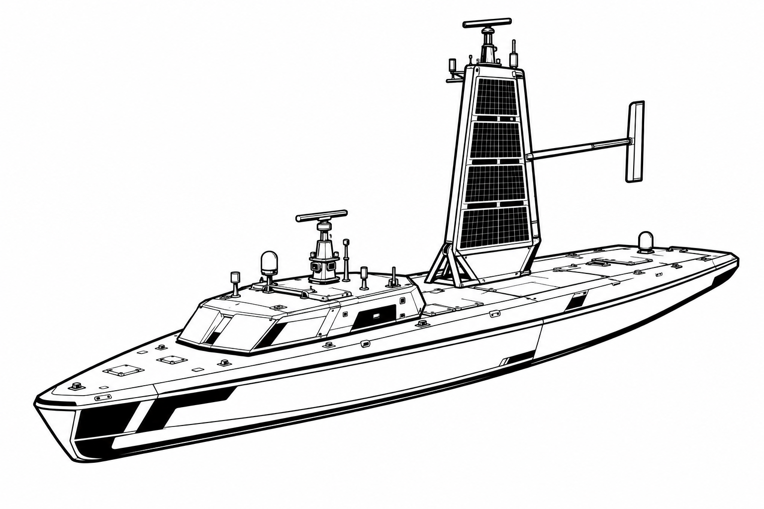
Saildrone Surveyor overview
The Saildrone Surveyor is Saildrone's largest platform and the first autonomous surface vessel designed for the deep-ocean mapping mission at the scale needed to make a meaningful dent in the vast un-surveyed area of the world's ocean floors. Humanity has detailed maps of Mars and the Moon, but less than 25% of Earth's ocean floor has been mapped with modern sonar — a gap that has strategic implications because submarine navigation relies on accurate bathymetric charts to safely transit deep-sea routes and avoid seamounts. The Surveyor's combination of scale, endurance, and capability was specifically designed to accelerate ocean floor mapping at costs that make comprehensive coverage achievable within a reasonable timeframe.
The Surveyor's 22-meter length provides the hull volume needed to mount a powerful multi-beam sonar system — the primary tool for seafloor mapping — along with upward-looking sonars for detecting and tracking submarines transiting above. This submarine detection capability is what gives the Surveyor its particular military relevance: deployed in groups across submarine transit corridors between the Pacific and the Sea of Japan, or in the western approaches to key naval chokepoints, Surveyor vessels provide passive acoustic intelligence on submarine movements that supplements satellite surveillance and active sonar systems without requiring the presence of manned vessels that might prompt hostile responses.
The oceanographic data the Surveyor generates has both immediate tactical and long-term strategic value. Tactical commanders receive better bathymetric data that improves the operational safety and effectiveness of their own submarine forces. Long-term, the global ocean mapping mission the Surveyor supports contributes to the scientific baseline needed to understand climate change ocean dynamics — a dual-use mission profile that justifies both NOAA and Navy funding. Trial coverage in 2026 highlighted the Surveyor's growing role as the Navy expanded its investment in unmanned systems that can perform persistent surveillance without the costs of crewed vessels.
Armament
None (ISR/survey); multi-beam sonar, upward-looking sonar, oceanographic sensors, maritime radar
Development and operational timeline
- Saildrone Surveyor development begins; 22-meter hull and multi-beam sonar system specification finalized
- Surveyor prototype launched; autonomous systems integration and hull trials begin
- First deep-ocean mapping mission; Surveyor completes 120-day Pacific basin survey
- U.S. Navy evaluation; upward-looking sonar for submarine detection demonstrated
- NOAA partnership contract; Surveyor begins systematic mapping of U.S. exclusive economic zone
- Pacific submarine corridor mapping; Surveyor surveys key transit routes in Western Pacific
- Navy contract for submarine detection trials; Surveyor acoustic sensor package validated against submarine contacts
- Second Surveyor hull launched; allows simultaneous deployment in two ocean regions
- Arctic mapping mission; Surveyor operates in Bering Sea under sea-ice conditions
- INDOPACOM deployment; Surveyor assigned to Taiwan Strait adjacent mapping mission
- Navy expands Surveyor procurement; additional hulls ordered for expanded Indo-Pacific coverage