Land ·
Emesent and Teledyne FLIR Collaborate on GPS-Denied Radiation Mapping Robot
The partnership between Emesent and Teledyne FLIR introduces a groundbreaking unmanned system for radiation detection in GPS-denied environments.
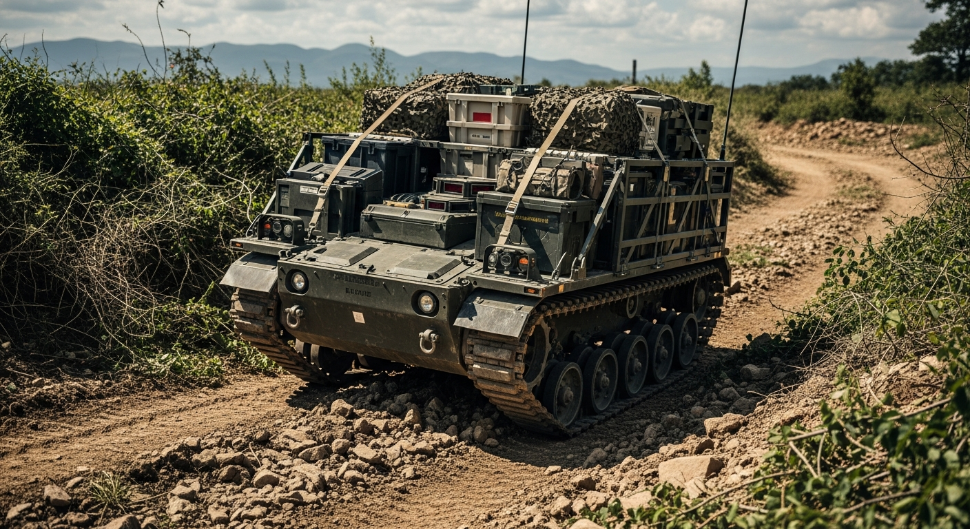
A new collaboration between Emesent and Teledyne FLIR Defense has resulted in the development of an innovative unmanned system capable of mapping radiation in environments where GPS is unavailable. This cutting-edge technology combines advanced radiation detection with autonomous navigation, providing Chemical, Biological, Radiological, and Nuclear (CBRN) teams with a powerful tool to assess contaminated areas without risking human lives. The system represents a significant advancement in the use of unmanned systems for safety and reconnaissance operations.
The integrated robot is designed to operate in challenging environments, such as disaster zones or areas contaminated by radiation. By enabling real-time three-dimensional mapping without a human operator, this technology enhances situational awareness and improves response times in critical situations. The ability to function without GPS is particularly advantageous in urban settings or locations where traditional navigation systems might be compromised.
This unmanned system aligns with the growing trend towards using robotics for hazardous missions, where human exposure to dangerous substances is minimized. The innovation offers CBRN teams a unique advantage in assessing risks and determining safe pathways in contaminated spaces. As incidents involving hazardous materials continue to pose threats globally, this technology could play a vital role in emergency response and recovery operations.
In addition to its immediate applications within CBRN operations, the collaboration between Emesent and Teledyne FLIR highlights the potential for unmanned systems to revolutionize safety protocols in various industries. The ability to map hazardous environments autonomously not only enhances military operations but can also translate to civilian applications in disaster response and environmental monitoring.
As the development of unmanned systems continues to progress, solutions like this radiation mapping robot will likely become integral to both military and civilian emergency response teams. By combining advanced detection capabilities with autonomous navigation, this partnership is paving the way for safer and more efficient operations in hazardous environments.